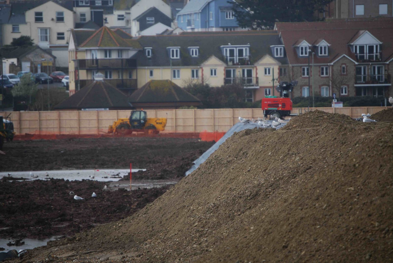
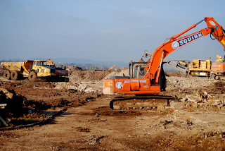
Photos taken late March 2011

Below are photos I have taken on and around the regeneration site between the 20th and the end of March 2011. 


The photo above is of the first wave of infill material being pumped into one of the lagoons on the site.

This is the dredger that will assist in the pumping of the infill material to the site.

Above is where the pipeline is located on Seaton beach with the dredger in the distance 1500m out to the right of the photo.

Taken looking down onto the site, you can see that fencing has now been erected on the western edge of the site, so from now on, I will find more creative ways of taking photos on this side of the site!

All sorts of debris behind the fence on the southern side of the regeneration site.

Its sunday, so no work commences on the site, which means that all of the vehicles are parked up together.

The sound of infill

This video was taken on my Iphone, just to demonstrate the sound of the water that is currently being pumped through the pipes.

Seaton Regeneration area 4/3/11 Video

Just A quick video I made on the 4th of march with my iphone. I will probably do more videos as work on the site progresses.

March 2011

This month, work seems to be at full speed on the site, getting it ready for the infill process, with trees, lights, and concrete cleared off of the site over the previous month and the infill settlement lagoon walls constructed in the centre of the site.

This is another photo taken on my iphone showing a digger creating a channel on the beach, presumably to bury some pipe that will travel from the beach to the boat that will be moored offshore to allow the infill process to begin.


Below is a quick photo I took using my iphone from Seaton hole as I was walking into Seaton, it is of one of the four boats that were off shore preparing for something to do with the pipeline. I will get some clearer photos on my SLR camera after the weekend as I will be photographing the London Olympic site, one of my other regeneration photo projects.


This photo was taken the day that the main pipeline bridge was installed over the road linking Seaton and Axmouth.

Another photo taken on my iphone on Grizzly run day, this one is peering through a gap in the fence of the racal site, where the second pipe bridge waits to be lifted into place the following day (14th March), where the landscape will look a lot different while the infill work is done.

The photo below was taken on my iphone on the day of the Grizzly run, where one of the pipeline bridges have already been lifted into place between the regeneration site and the former Racal/station site. It is visible easily from the tramway side of the site due to being 5 metres high.

Outside the main site entrance, more signs have appeared with this one being one of the most obvious to passers by with the Tesco logo on it, giving people a phone number if they have queries about the site.

The photo below is of one of the numerous trucks on site carrying rubble etc from one part of the site to another part of the site.


The photo below was taken looking through the tramway side of the regeneration site using a telephoto lens so that I could get a closer view of some of the work on site.

This image was taken from the same spot as a lot of older photos I have taken of the area. It is at the south western entrance opposite the bus depot, where I managed to fit the camera lens into a gap in between the gate and the perimeter fence. Even half a month ago, you could see the access road running down the centre of the photo, but as the work has progressed, it has disappeared, with only the curb giving signs that it was there. At the back of the photo is the southern wall of the infill settlement lagoon.

The two photographs below show the tramway side of the site, which now looks different due to the trees lining this side being cut down, so there is a clear view a large majority of the work going on on site.

With this photo, also taken from the beach, you can see the site office etc, but you can also make out the infill settlement lagoon that has been constructed over the last few weeks, to contain all of the infill material, once that process gets going.
The photo below was taken from the esplanade, looking through one of the gaps in buildings and I saw the frame filled with layer upon layer of diggers, just showing how busy the site is, even in this small cross section of it.

Below is another over the fence shot with my compact camera, where the gate to the south western entrance is.
The photo below was taken at the beginning of the month using my compact camera attatched to a tripod, so that I could lift the camera over the perimeter fence, to get a better view of what was happening on site.

February 2011

February is the month where it looks like the work on site rally gets going. There are now visible signs of progress, with diggers, vans and workmen on site preparing it for the infill process. Boards are also going up on the Harbour Road side of the site.

This is a bit of an abstract photo that I took with the Tesco color fence, with the diggers working away behind it.
The two images below are photos I have taken on the grass bank at the back of the site, opposite the Racal site. The first photo taken on my Iphone was taken in may 2010 and the second photo on my camera february 2011, the change is huge.

May 2010:
February 2011:
Diggers busy at work on the part of the site where the proposed Tesco store will stand when the work is complete.
Below is a panoramic pic that I took looking through past the fence next to the tramway, where it looks very busy on site, with buildings being pulled down and piles of rubble everywhere.
The photo below is taken from the same gate view as the previous photo, showing piles of debris and rubble on the site.
The photo below was taken looking through the gates on the western entrance to the site, I have taken photos from this view before and the scene is changing rapidly. The day after I took this photo, a 7ft high fence was put up where the gate was, but as a photographer, I still have ways round that problem!

Another iphone photo taken next to the main site entrance as a lorry drops its load off at the gates.
The photo below was taken on my iphone, of pipes, waiting to be put together ready for the infill process.
Below is a photo I took on my iphone as I was walking along the beach in Seaton. This is part of the pipeline that has started to be constructed to carry the infill material from a boat out at sea, to the regeneration site.
Above is the current view outside the eastern entrance to the site, now the fencing has been installed, noticing the Tesco colors that the fence has been painted in.
The photo above was taken looking through the gates at the eastern entrance to the site on a sunday, when no one was working on it. You can see all of the diggers and rollers in the background, behind the building with the still intact 'rockbeare' sign on it!
The photo above is a view looking along harbour road from west to east, where temporary fencing has been put up on the edge of the site.
Above is one of the views looking into the site alongside the tramway. It still looks like a mess, but fencing has also been put up in parts of this area as well.
The photo above is taken close to the eastern entrance to the site, which looks different due to the fact that hedges and trees have been removed to make way for a fence and the portable cabins have been placed, where the holiday camp restaurant used to be.

January 2011

This series of photos were taken around the site as work has finally begun, preparing for the infill process which should begin very soon.

The photo below was taken on my iphone outside the site, where you can see containers have appeared on site ready for the first stage of work to begin.

The view below is where the holiday camp restaurant/swimming pool and gym once stood, as you can see excavations have taken place here.
The photo below shows the area that will be where the Tesco store will stand once all of the work is complete. To the left of the photo is a vehicle which seems to have tipped to one side on the very uneven surface!
The photo below shows the access road to the play group, which has now closed in order to allow infill work to progress. All of the perimeter fences have been taken down now, so you get a bigger scale of the whole area.